Insights

Terrestrial LiDAR

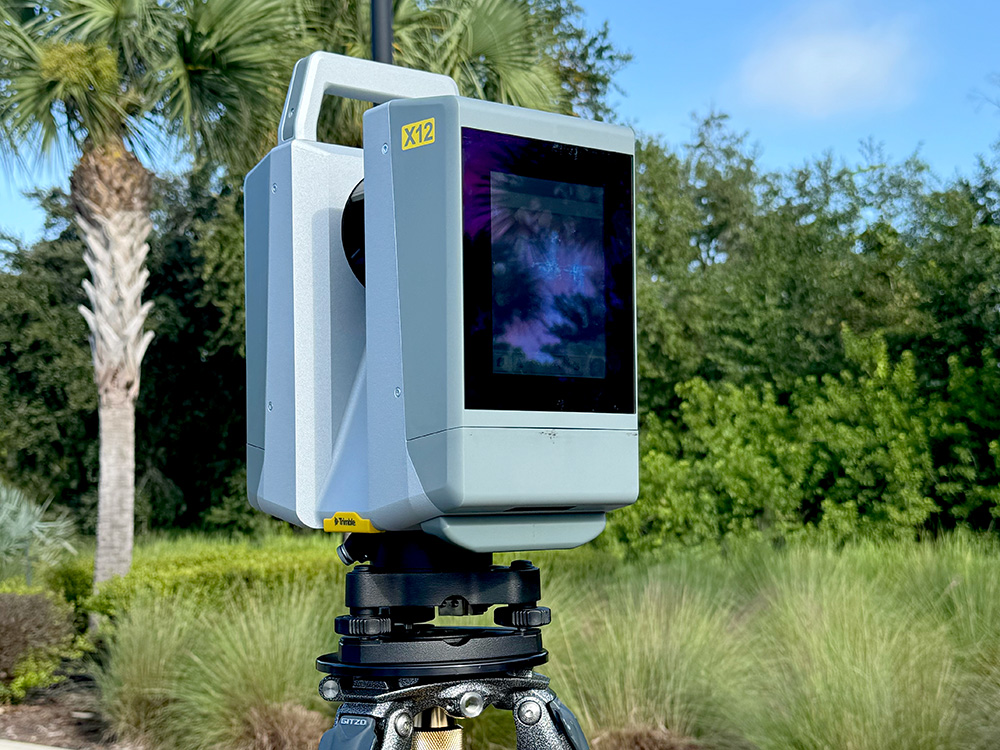
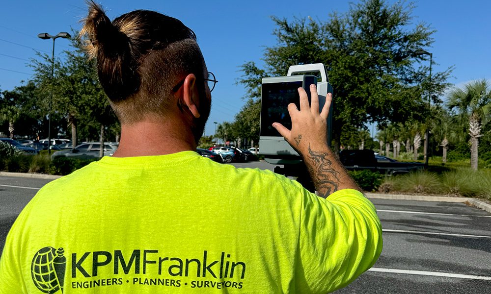
KPM Franklin’s terrestrial LiDAR services captures accurate and precise high-resolution data for mapping detailed geographical features in complex areas that traditional systems might miss. This data is used to build 3D models for a variety of applications including topographical survey maps for civil engineering site design and other land use projects.
Recent Posts

UCF Engineering Department Visits KPM Franklin

KPM Franklin’s Kissimme office received Dr. Kevin Mackie, UCF’s engineering department chair, and Dr. Woo Hyoung Lee, UCF’s engineering department director of graduate programs, and

10 Year Anniversary

Today at Brewlando microbrewery in Orlando, KPM Franklin celebrated 10 years since the torch of the Franklin legacy was passed to a new generation of

Ice Cream Bar

Last week, KPM Franklin hosted an ice cream bar for employees at our Orlando and Kissimmee offices to enjoy a well-earned break from the summer

Robby Moon’s ORRA Presentation

Robby Moon, KPM Franklin’s CEO and principal, recently delivered two land development presentations to commercial real estate agents, brokers, realtors and other industry professionals enrolled

Escape Room Event

Last week, KPM Franklin’s Orlando and Kissimmee offices split into several teams to test their mystery solving skills at Dare 2 Escape, an immersive, narrative-driven

Legislative Update 2026

Major changes are coming to Florida’s land development landscape. Following the Spring 2026 legislative session, four key bills have been signed into law that will

Interested in joining us? KPM Franklin is always looking for qualified talent.